Water pipes, pumping stations, storm water drainage facilities, valves, hydrants, and maps were once stored in file cabinets, CAD files, or the minds of select workers who had been around for years.
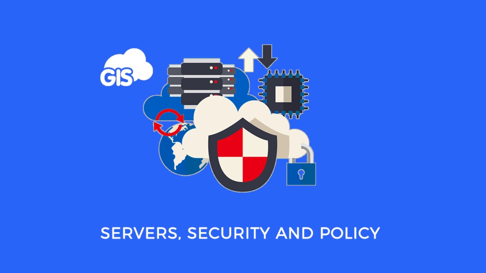
More utilities now store their assets within a GIS database because it speeds up work and enhances efficiency and accuracy. But as a result, the security issue becomes different as well. A utility GIS is no longer just a mapping tool. It becomes part of the operational memory of the network.
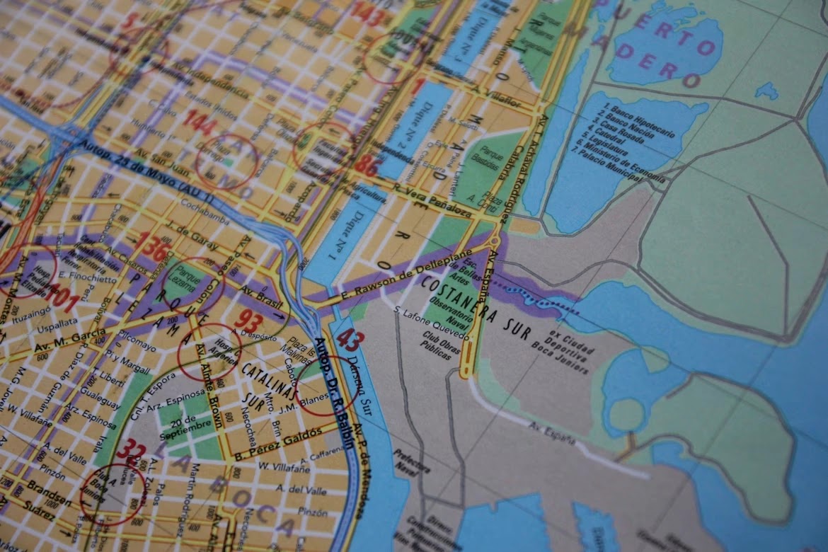
A good example is the Mount Houston Road MUD GIS project, where legacy water, wastewater, and storm drainage as-built records were converted into a centralized geodatabase and made accessible through a secure web application for staff and consultants.
That kind of project shows the real value of modern utility GIS, and it also shows why access control, audit trails, and data protection have to be treated as core requirements from the start.
Why utility GIS is more sensitive than many teams think
People often talk about cybersecurity in utilities as if the only real target is industrial control systems. That is too narrow.
GIS databases cannot operate a valve or activate pumps, but they can tell an adversary about the location and nature of utility facilities, which assets were installed and what vulnerabilities exist. The use of mapping data can speed up the process.
A modern utility GIS can include line materials, pipe sizes, installation dates, manhole locations, drainage paths, lift stations, hydrants, access notes, scanned plans, and links to work history.
That is valuable to the utility because it helps with maintenance, planning, and emergency response. It is also valuable to anyone trying to understand the structure of the system quickly.
The risk grows when GIS is exposed through web portals, shared with outside consultants, connected to mobile devices, or integrated with asset management platforms. Every connection adds convenience.
Every connection also adds another place where permissions can be too broad, passwords can be reused, or a forgotten account can stay active longer than it should.
The problem with treating GIS as an office tool
Many organizations still protect GIS like a normal back office application. That mindset is outdated. If a spreadsheet leaks, the damage may be limited to financial or administrative issues. If a utility GIS is exposed, the consequences can touch public safety, service continuity, and incident response.
The weak point is often cultural rather than technical. GIS teams are asked to make data more usable, more shareable, and easier to search. Security teams are asked to reduce exposure. If those goals are not aligned, convenience wins.
A shared login gets created for contractors. A web map stays available longer than planned. Export permissions remain open because somebody might need them later.
Small decisions create large attack surfaces.
A utility does not need to imagine a dramatic movie-style breach to have a real problem. Sometimes the damage is quieter. A former vendor account still works. A public-facing dashboard reveals more infrastructure detail than expected.
An internal user downloads a full dataset to an unmanaged device. A ransomware event hits a server that stores GIS layers and scanned as-builts, leaving crews blind during a repair window.
The controls that matter most
Stronger cybersecurity for utility GIS does not begin with one expensive tool. It begins with treating the database like critical infrastructure information.
The first step is knowing exactly who needs access and why. Not every user needs the same visibility. A field technician may need asset locations and maintenance notes. A consultant may need project-specific layers for a limited time.
An executive may need only summary dashboards. When every user gets broad access, the organization creates unnecessary risk.
The most useful controls usually include:
- role-based access with least-privilege permissions
- multi-factor authentication for all remote and administrative access
- detailed logging of exports, edits, and logins
- regular review of vendor and contractor accounts
- network segmentation for systems tied to operational data
- encrypted backups tested for restoration, not just stored and forgotten
These are basic ideas, but many utilities still apply them unevenly. The problem is rarely that nobody has heard of them. The problem is that GIS often sits between departments, so ownership becomes blurry. IT assumes GIS manages the data. GIS assumes IT manages the security. Operations assumes both sides already handled it.
That gap is where trouble starts.
Why third-party access deserves special attention

Utility GIS projects usually involve outside help. Access for engineers, surveyors, GIS experts, mobile application developers, and infrastructural planners might be necessary at various points. That is normal. It is also one of the easiest ways for security controls to weaken over time.
Third-party access needs rules that are boring, clear, and enforced. Temporary accounts should expire automatically. Shared credentials should never be tolerated.
Large exports should be justified and logged. Portal access should be reviewed when the project phase changes. Data that is useful for design work may still be too sensitive for broad circulation.
This matters because utility GIS projects often begin with legacy record cleanup. Old PDFs, CAD files, scanned as-builts, and field corrections get consolidated into one trusted source.
That process creates a better operational picture, but it also creates a richer target. Before consolidation, useful details might have been fragmented across offices and archives. After consolidation, they are searchable in one environment.
That is a major operational win. It is also a major security event, whether the team labels it that way or not.
A stronger security model supports better operations
Some teams hear cybersecurity and assume delay, friction, and extra approvals. In practice, better controls often improve operations. When access is structured properly, staff know where to find the right version of the data.
When logs are available, suspicious activity is easier to investigate. When backups are clean and tested, recovery is faster after an incident. When permissions are reviewed regularly, old project clutter does not keep piling up in production systems.
Security also improves trust inside the organization. Utilities need engineers, operators, field crews, GIS specialists, and leadership to rely on the same system. That only works when people believe the data is accurate, available, and protected.
A utility GIS database is not just a map of pipes and structures. It is a decision system. It shapes maintenance priorities, emergency response, capital planning, and field coordination. Once that is clear, the cybersecurity conversation changes.
The question is no longer whether GIS needs stronger controls. It becomes necessary to ask why so many entities consider it as an option.
Cybersecurity cannot be behind when utilities have started moving ahead by digitizing their records, setting up websites, and integrating GIS systems within their workflow. Setting up the GIS database is easy, but its security is essential to keep it going.